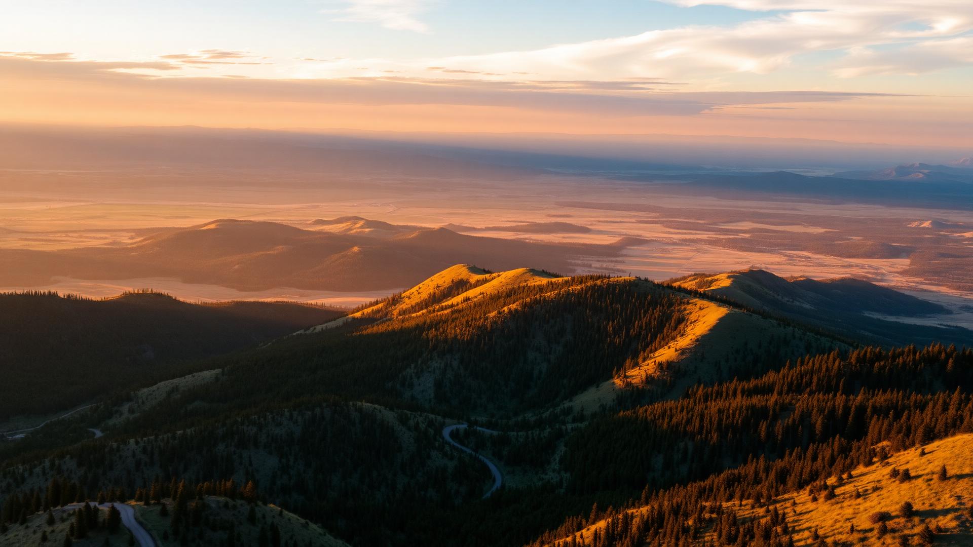
A Living Landscape
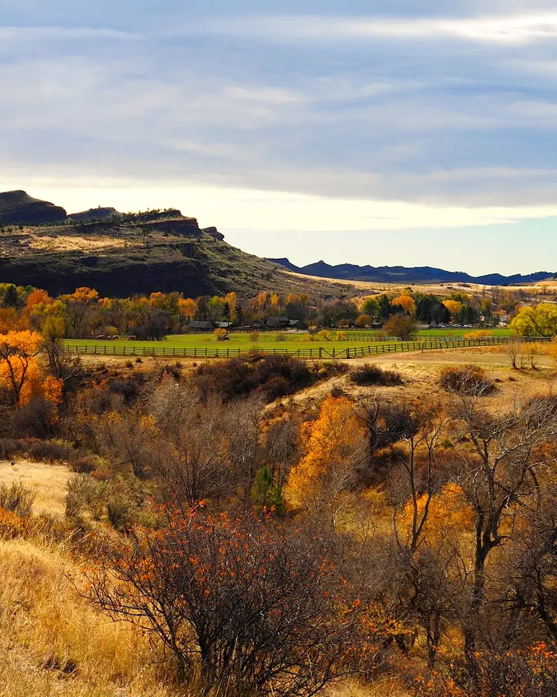
Where the Great Plains rise into the Rocky Mountain foothills.
Where the plains rise into the mountains
At the mouth of the Big Thompson Canyon, the land opens like a book whose pages were written at radically different scales of time. Ancient crystalline rock stands beside younger sedimentary formations tilted into long hogbacks. Between those ridges lie valleys, springs, terraces, grasslands, and a river corridor.
The result is not one ecosystem but a compressed sequence of them, a passage from plains to mountains within a few miles. Elevation changes quickly, so climate, moisture, and vegetation change quickly too. Plains species reach their western limit here; mountain species reach their eastern one; both overlap in between.
That physical convergence explains much of what followed. Water and shelter, warm winter exposures, rich edge habitats, and routes through the foothills made this a recurring place of movement and return. This landscape has never been somewhere people arrived at by accident. It has always been a place worth coming back to.
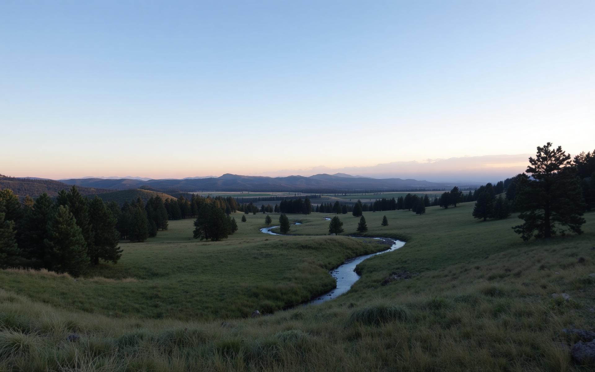
The threshold: grassland meeting foothills at the base of the range front.
Conceptual connectivity diagram. Illustrates habitat relationships and seasonal movement generally; it is not a mapped or telemetry-derived route.
Every ridge here records the work of uplift and water
All three major classes of rock meet on this landscape: sedimentary sandstone, shale, and conglomerate in the hogbacks; igneous granite in Green Ridge and portions of Alexander Mountain and Stone Mountain; and metamorphic gneiss and schist exposed in the Big Thompson Canyon and Sulzer Gulch. Few places in Colorado display the whole set within a single walk.
Conceptual west-to-east transect, drawn from the ranch geology synthesis. Vertical scale exaggerated; not a survey drawing or geologic map.
Hard rock makes ridges. Soft rock makes valleys
Conceptual stack of the tilted sequence: order is generalized, thickness is not to scale.
Dakota / Lytle
Hard, resistant sandstone. Where it stands on edge it holds up the outermost hogbacks and refuses to erode with the softer rock around it.
Alternate hard and soft layers, tilt them steeply against a rising mountain front, and then let water work for a few million years. Ridges, valleys, springs, soils, and views all end up in the same alignment. The ranch's whole geography follows from this one sequence.
Formation names follow the ranch geology guide; ages and boundaries pending current USGS / Colorado Geological Survey verification.
The river made the valley
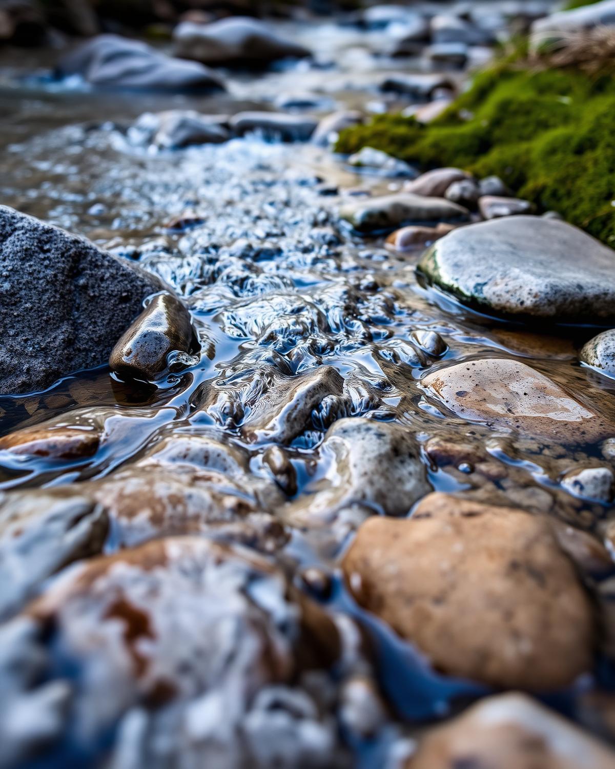
The Big Thompson gathers snowmelt near the Continental Divide and carries it east through a canyon it cut itself, eventually joining the South Platte out on the plains. Big Valley exists because water found weak rock and spent a very long time exploiting it, while harder sandstone refused to yield and stayed standing as walls.
The Hansen Feeder Canal crosses this same landscape, a visible piece of the Colorado-Big Thompson Project. Even the water moving quietly past a fence line here connects both sides of the Continental Divide.
Conceptual watershed diagram, schematic. Not to scale, and not a parcel, boundary, or easement map.
Two forests, one ridgeline apart
Sun, stone, and open pine
Direct sun most of the day. Snow leaves early, soils dry fast, and grass cures by midsummer. Open ponderosa woodland and shrubland dominate: warm winter range for deer and elk, and the ground where frequent, low-intensity fire once did the thinning that crews do by hand today.
The canyon effect: orientation, cold-air drainage, and slope exposure put two very different forests within sight of one another.
Geology decided where life could live
The richness of this place is best explained not by a species count but by compression and connectivity: many habitats packed close together, and enough intact ground between them for animals to move freely. A south-facing ponderosa slope and a shaded conifer stand can share a ridgeline and share almost nothing else.
Ponderosa Pine Woodland
Open, sun-flooded stands with wide spacing and a grassy understory. Fire scars on old trees record a frequent, low-intensity fire regime, the ecology that thinning and mitigation work now tries to imitate by hand.
Habitat expressions and story leads follow the ranch-specific ecological synthesis compiled in the Living Landscape dossier.
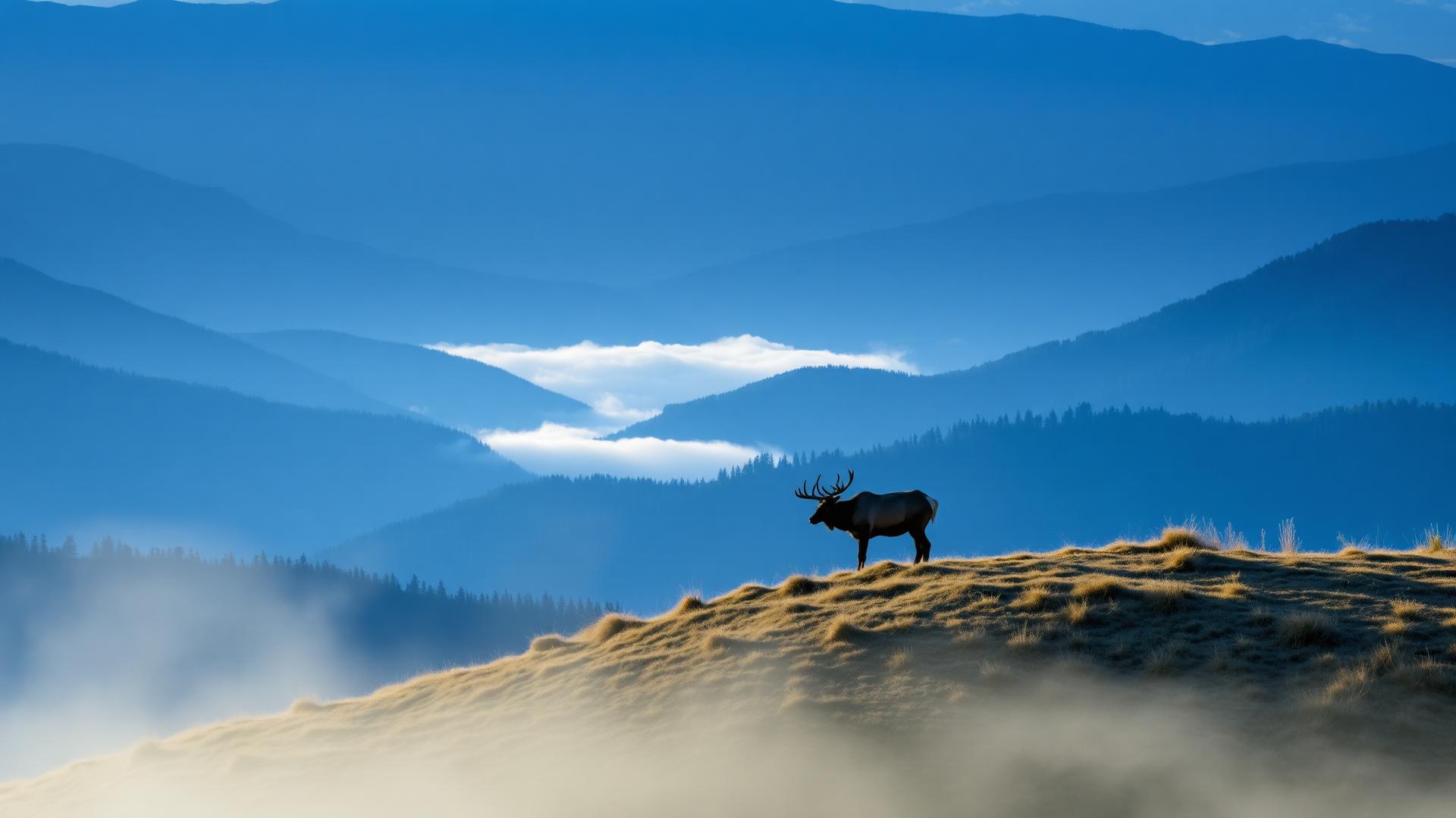
Elk use nearly every habitat on this list over the course of a single year.
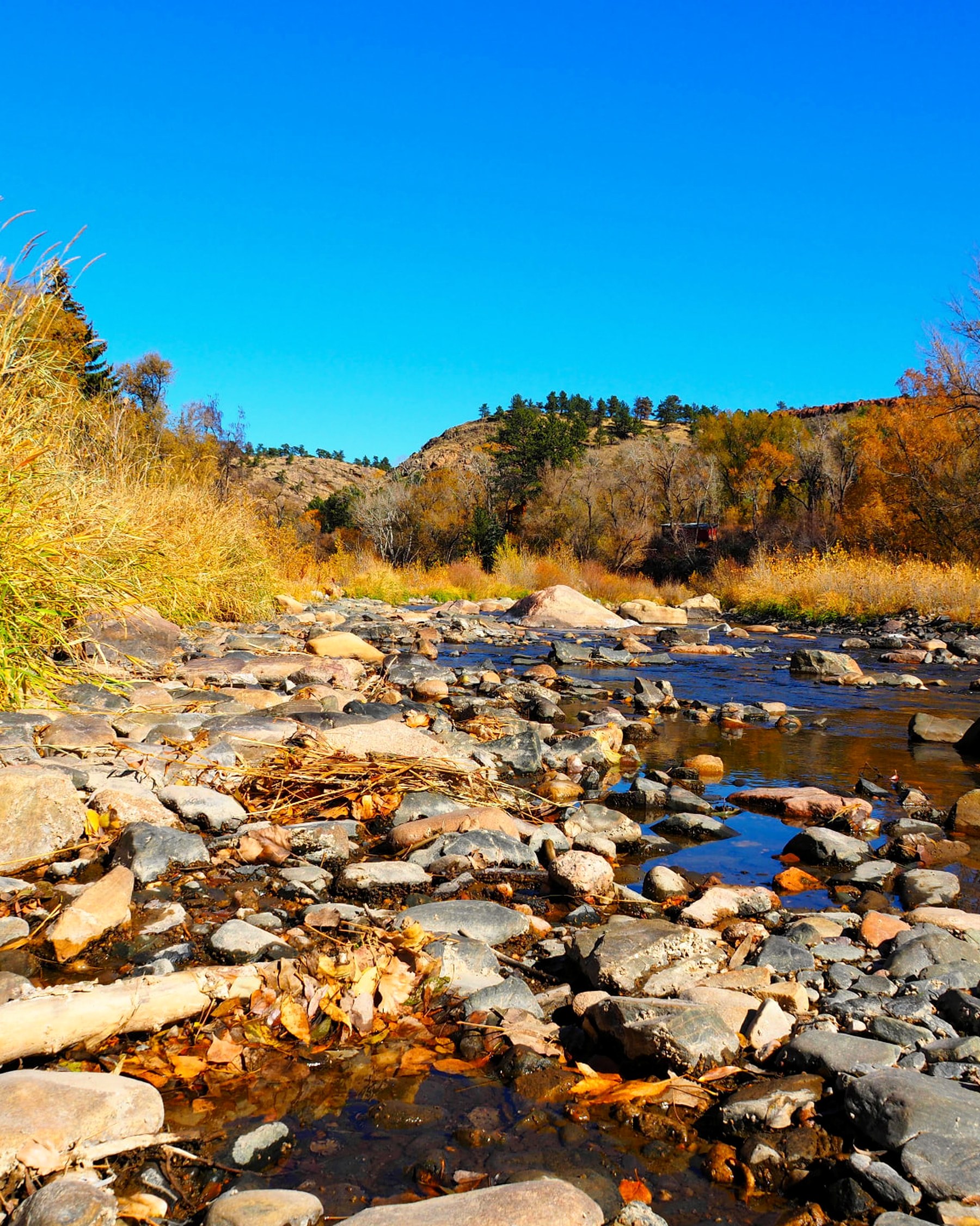
Riparian corridor: a narrow share of the acreage, a disproportionate share of the life.
Trail-camera documentation at a wildlife guzzler: a first-party record still growing.
Not empty land, and not a single story
Water and shelter, warm winter exposures, and routes between the plains and the high country made this a place people returned to for thousands of years. Archaeological work beginning in the 1930s, and expanding through university field schools in the 1980s, documented repeated Indigenous use across the wider Sylvan Dale landscape. Some occupations were brief. Others returned season after season.
The record does not support a tidy progression from one people to the next. It shows a landscape used in many different ways across long periods: camps, shelters, food processing, hunting, toolmaking, and movement between ecological zones. The foothills were not merely the edge of two regions. They were a productive place in their own right.
At a site recorded as Valley View, on an east-facing bench above the river corridor, people returned during the colder months across centuries. The site offered morning sun, protection from westerly winds, nearby springs, and access to the resources of both foothills and plains. Occupants built fires, processed plants and animals, repaired tools, used pottery, and at one point maintained a shallow rock-walled pithouse with an attached sheltered work area.
The evidence is intimate, but incomplete. Archaeology records activities and materials far more clearly than it records names, identities, or living cultural meanings. We can say with confidence that people lived here well; we cannot, on this evidence alone, say exactly who they were.
“Archaeology tells us that people knew this place intimately. It does not give us the right to speak for them.”
Land that has always asked for work
Grazing, now placed deliberately as a fuel-reduction and soil-health tool.
Euro-American settlement brought logging, sawmills, cattle, roads, and irrigation. William Alexander settled near the canyon mouth in the 1860s and ran sawmills along the Big Thompson. In the early twentieth century Frend Neville built a cattle and guest operation. In the 1930s Cotner College used the property as a summer campus and retreat: an outdoor classroom, decades before the phrase existed here.
Maurice and Mayme Jessup acquired the then 125-acre property in 1946. Over the following decades the ranch grew to roughly 3,200 acres, and hospitality brought thousands of people into direct, unmediated contact with this country.
But the most consequential modern chapter is not expansion. It is protection. Beginning in 1999, a series of conservation-easement partnerships protected major portions of the ranch for wildlife, ecological, agricultural, mineral, and scenic values. Larimer County reported in 2004 that six easements placed since 1999 protected 1,161 acres, complemented by additional restricted land through rural land-use projects.
Heart-J Center launched in 2014 as a nonprofit experiment in using the ranch as an outdoor classroom. In 2021, the first major ownership transition was completed with the donation of 960 acres of backcountry land, appraised at $2.75 million. Most of Heart-J Center's 960 acres are permanently protected through conservation easements.
The family's generosity deserves gratitude, and it belongs in this story. But it belongs as one chapter. What was handed forward was not really ownership. It was continuity, and the decision that this valley should stay whole.
A working landscape is an actively managed one. Grazing shapes vegetation structure and fine-fuel loads, and modern monitoring tools, including radio collars on cattle, help make those decisions more intentional. Explore Strategic Grazing
A shared purpose, three distinct roles
Heart-J Center
Nonprofit launched in 2014. Stewards the 960-acre backcountry tract conveyed in 2021, and delivers place-based education, veteran and youth programs, restoration, and recovery work.
Sylvan Dale Legacy
Separate nonprofit organization focused on the long-term ownership, conservation, and stewardship of land and enduring resources. Land. Conservation. Legacy.
Sylvan Dale Ranch LLP
The private, for-profit owner and operator of the historic working guest ranch on the larger landscape. Not a nonprofit organization.
These are distinct organizations with distinct roles. They share a purpose: safeguarding an irreplaceable foothills landscape. But ownership, easement holders, operating control, and public access are separate matters and are not interchangeable.
Portions of this landscape are private and not open to public access.
Disturbance is not an interruption to this story
On the night of July 31, 1976, a stalled thunderstorm dropped extraordinary rain on the upper Big Thompson Canyon. The flood severely damaged the ranch, reshaped the river corridor, and placed this landscape at the center of regional recovery. It remains one of the deadliest natural disasters in Colorado's history, and it permanently changed how this state thinks about canyons and warning.
In September 2013 the rain came again, slower, wider, and for days. Channels moved, and major lodging and meeting space at the ranch was destroyed. That loss helped catalyze a new public-serving chapter here, and preceded the launch of Heart-J Center the following year.
On July 29, 2024, the Alexander Mountain Fire began near the ranch and ultimately burned 9,668 acres across the region before reaching full containment on August 17. Heart-J Center reports that all 960 of its acres burned, including the Cow Camp retreat site and its structures.
These were disasters. They were also, in the longer view, the same forces that built this place still doing their work. Fire opened ponderosa stands here for millennia before anyone suppressed it. Floods built the floodplain that grows the cottonwoods. What has changed is that people now live inside the process, which makes stewardship less about preventing change and more about helping the land absorb it.
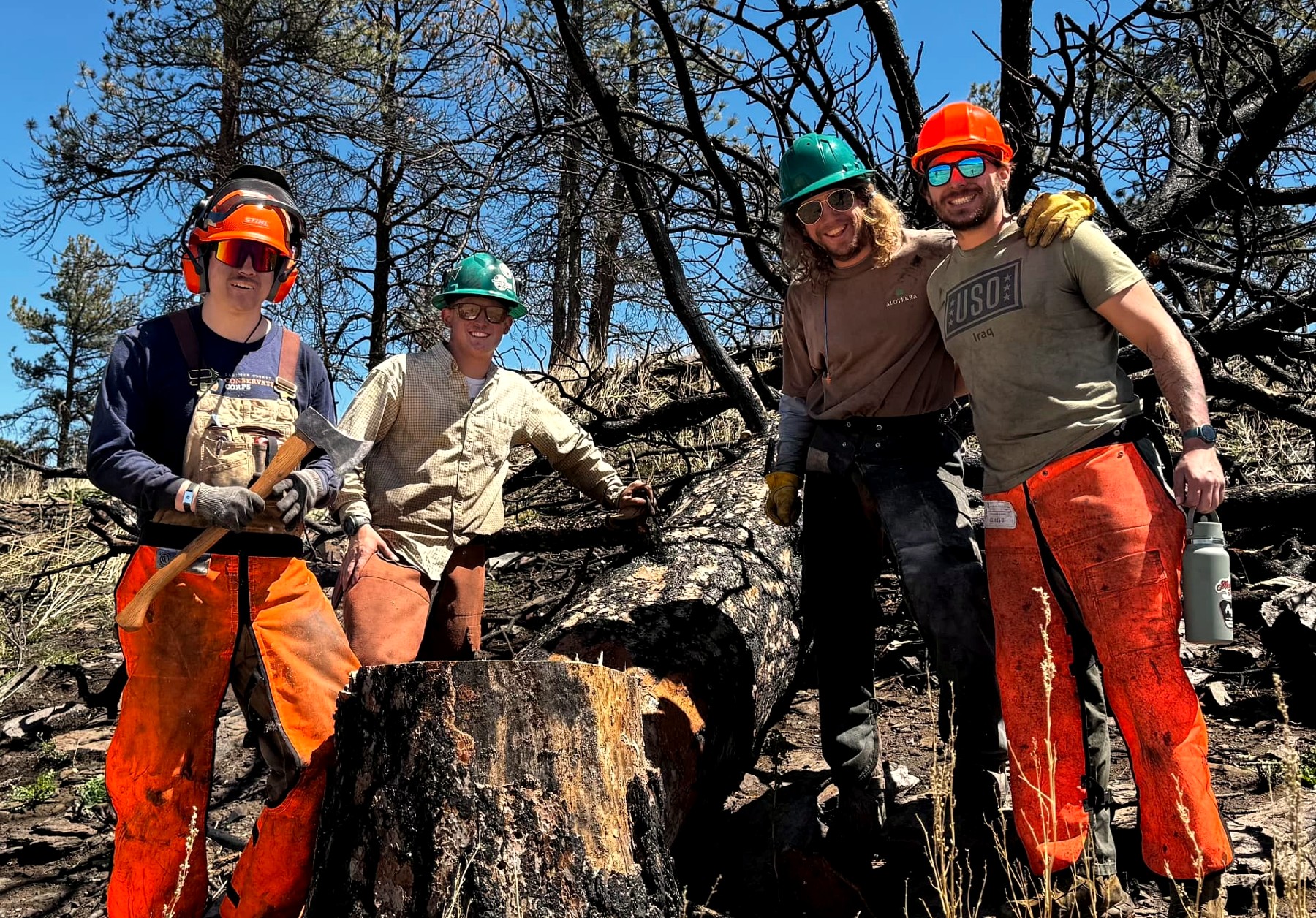
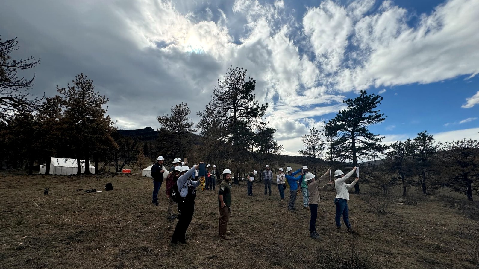
Post-fire work in burned forest: 2024 fire footprint.
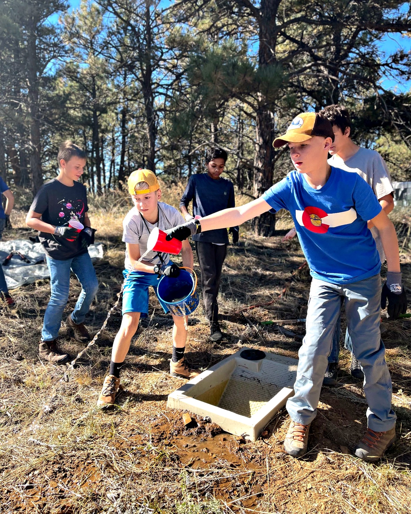
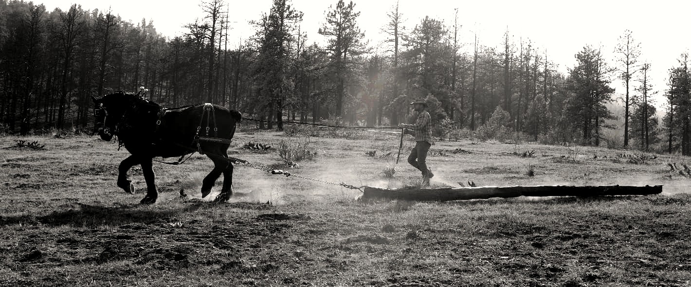
Hazard-fuel removal where machines cannot reach.
One place, four scales of time
Choose a scale, then open any moment to read further. Each entry carries its evidence status, because a living record should be honest about what it knows.
Stone, Sea, and Uplift
The newest chapter is being written by hand
The importance of this land now lies not only in what survives from the past, but in what can be learned, restored, and protected next. None of the work happening here is finished, and most of it will outlast the people doing it. That is the correct timescale for this landscape.
Watershed protection
Roughly 0.56 miles of Cedar Creek stabilized with log structures and post-assisted log jams, reconnecting floodplain and slowing water, with monitoring running through 2029.
Forest health & wildfire resilience
Certified sawyers and draft horses removing hazard fuel from ground machines cannot reach, thinning toward the open stand structure these forests evolved with.
Habitat & water for wildlife
Wildlife guzzlers holding precipitation through the driest weeks, with trail cameras recording what uses them and when: a dataset that grows every season.
Post-fire research
Paired burned and unburned study sites supporting university research on severity, forest recovery, and water quality across the 2024 fire footprint.
Regenerative grazing
Cattle placed deliberately across protected rangeland for fuel reduction, soil carbon, and plant diversity rather than production alone.
Education & vocational training
Youth wilderness education, nature school, and H.O.L.L.S. vocational certification: teaching land-based skills on the land itself.
Veterans & community programs
Veteran, first responder, and community programs built around meaningful outdoor work, purpose, and belonging.
Volunteer stewardship
Crews and volunteers doing the unglamorous, decisive work: fence, trail, seed, water, and the slow repair of burned ground.
The living record
Wildlife records, photographs, oral histories, land records, and research findings gathered into a growing archive, so the next generation inherits evidence, not just stories.
Volunteer and crew stewardship across the valley.
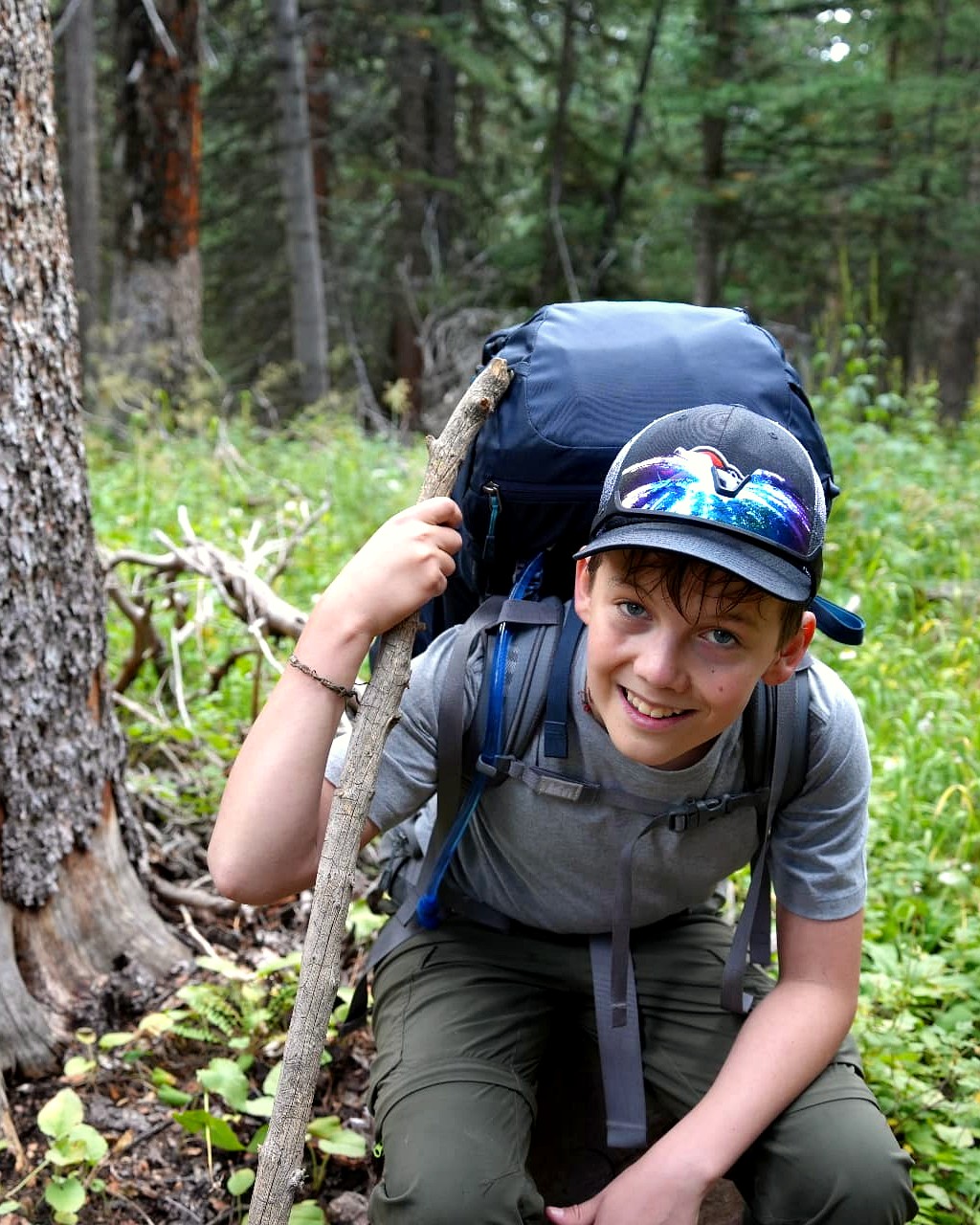
The next generation of people who will know this ground.
This land carries more than a history.
It is a living record.
Every generation is invited to help write the next chapter.
Resources & further reading
This page is drawn from a living research dossier that will keep absorbing new wildlife records, photographs, oral histories, land records, and research findings. Where a claim is still being verified, we say so rather than smoothing it over.
Natural History & Place
Trail Talk: A Guide's Guide to Sylvan Dale Ranch
The strongest ranch-specific synthesis of geology, habitat, wildlife, and place names. Interpretive rather than technical; used here as a lead source and cross-checked where possible.
- Sylvan Dale Ranch: Wildlife & Nature
Ranch-scale habitat description and the source of several wildlife leads, including the bighorn sheep restoration account.
Geology & Landform
- Colorado Geological Survey: Front Range geology
State mapping and plain-language explanation of uplift, tilting, and the sedimentary sequence exposed along the range front.
- U.S. Geological Survey: Big Thompson Canyon quadrangles
Published geologic mapping covering the canyon, the valley, and the crystalline basement beneath both. The authority for verifying formation names and boundaries.
Archaeology
Brunswig, Archaeological Report of the UNC Sylvan Dale Ranch Project (1990)
The core report from the University of Northern Colorado field schools of 1986, 1987, 1989, and 1990. Contains provisional interpretations that later scholarship refines.
Brunswig, Valley View (5LR1085): A Shallow Pithouse Site, Southwestern Lore 82(2), 2016
Peer-reviewed treatment of the Valley View occupations, ca. A.D. 100-900, including the rare shallow pithouse and cool-season reuse.
Holland, Prehistoric Land Use (Colorado State University M.A. thesis, 2021)
A 276-page regional study of 66 sites and isolated finds in the hogback country west of Loveland. Its study area is wider than the ranch; findings should not be collapsed into ranch-specific claims.
Indigenous History
Tribal historic preservation offices
The appropriate first authority for the history and continuing presence of Indigenous peoples in this region. Interpretation on this page defers to descendant communities and avoids attributing specific sites or materials to named nations.
- History Colorado: Indigenous history collections
Statewide context on long-term habitation, seasonal movement, travel routes, and treaty history along the Front Range.
Wildlife & Ecology
- Colorado Parks & Wildlife: species and habitat data
Range, migration, and seasonal activity data for elk, mule deer, bighorn sheep, and other species using this corridor. The source of record for verifying the 1987 bighorn restoration account.
Heart-J Center trail camera program
Motion-triggered cameras at wildlife guzzlers documenting black bear, bull elk, mule deer, wild turkey, and mountain lion use over time: a growing first-party record.
Ranch History
- Sylvan Dale Ranch: History
Public ranch chronology, the 1946 acquisition narrative, and the guest-ranch era.
How the Ranch Was Won, as told by Mayme Jessup
A 26-page firsthand family narrative. Valuable texture on acquiring and building the ranch; used selectively so the landscape, not the family, remains the subject.
Loveland-area history and archaeology bibliography (2019)
A research-routing document pointing toward local scholarship, repositories, and archival material still to be pursued.
Conservation & Land Protection
- Larimer County: Sylvan Dale conservation easements
County description of easement purpose, protected values, and public-access limitations.
- Larimer County Open Lands Annual Report (2004)
Source of the figure that six easements placed since 1999 protected 1,161 acres, with additional restricted land through rural land-use projects.
Heart-J Center: Vision
First-party account of the 2014 launch, the flood-loss context, and the 2021 donation of 960 acres.
Flood & Fire
- Larimer County: Alexander Mountain Fire recovery
Containment record and post-fire recovery guidance for landowners and the wider community.
- Colorado Forest Restoration Institute: Alexander Mountain Fire case study (2025)
Final acreage, structure loss, and analysis of preparedness and recovery across the fire footprint.
1976 Big Thompson Flood: NWS and USGS retrospectives
Meteorological reconstruction, hydrographs, and the lasting changes to canyon warning systems and land-use practice.
Restoration Science
Big Thompson Watershed Coalition: Cedar Creek work plan
Design basis for the log structures and post-assisted log jams stabilizing roughly 0.56 miles of Cedar Creek, with monitoring running through 2029.
- Peaks to People: Sylvan Dale project overview (2017)
Watershed partnership and nutrient-reduction work in the Big Thompson basin.
Research Partners
- Colorado State University: wildfire impacts on forest health (2025)
Burned and unburned paired-site research conducted on Heart-J Center land, examining severity and forest recovery.
USDA Forest Service and local fire districts
Partners in wildfire mitigation, fuels reduction, and the Backcountry Sawyers initiative.
University of Northern Colorado: archaeological research legacy
Decades of field-school investigation across the Sylvan Dale landscape, and the foundation of the region's archaeological record.
Living research dossier · Version 1